Production AI for unique geospatial challenges
When your problem doesn't fit off-the-shelf solutions, we bring expertise from autonomous systems, computer vision, and geospatial intelligence.
Discuss your project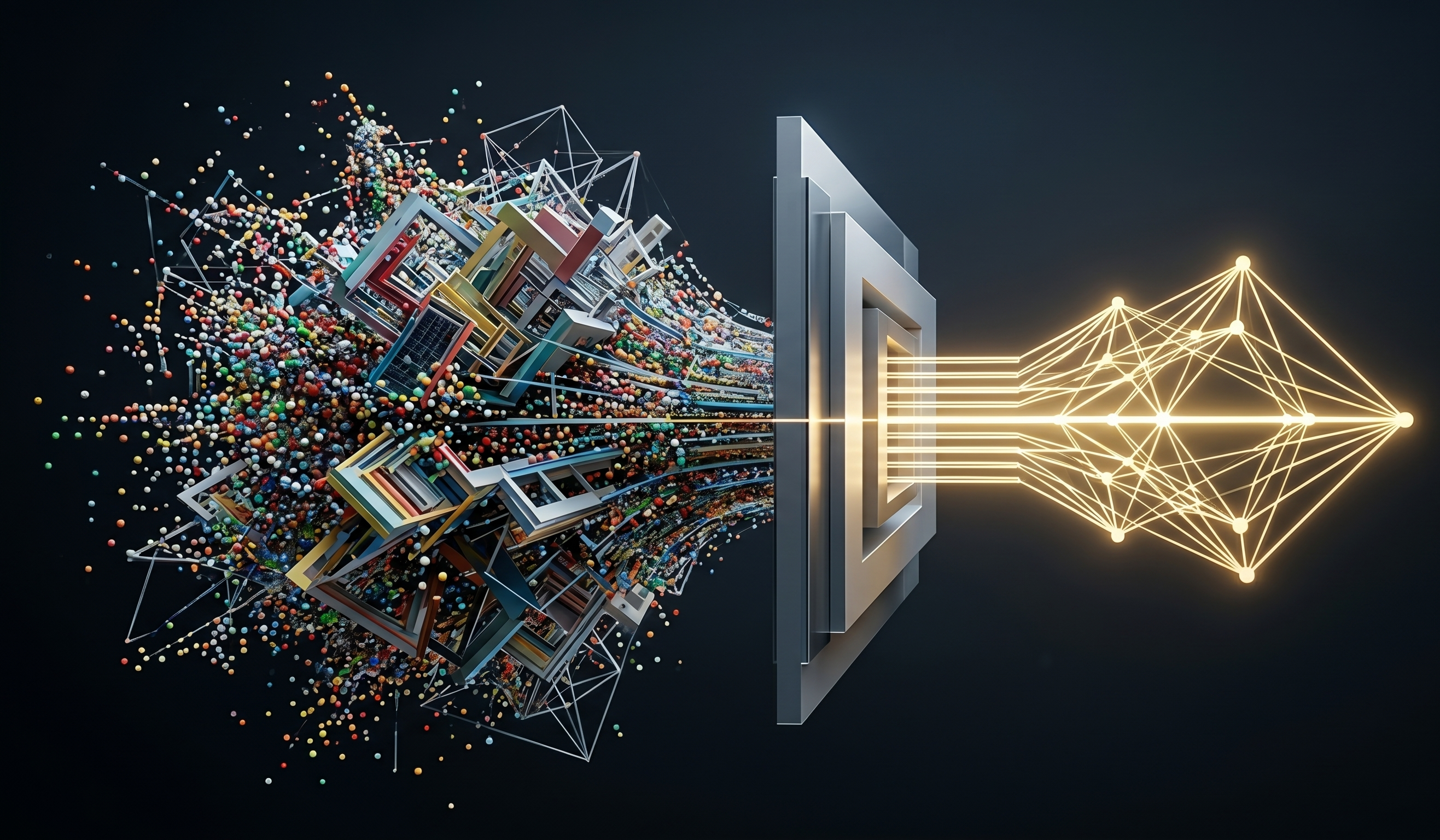
We don't just build products—we solve your hardest problems
Whether it's a new objective, a new domain, a new sensor, or a new insight, we've shipped production AI for every environment.
Our Capabilities
Ingest
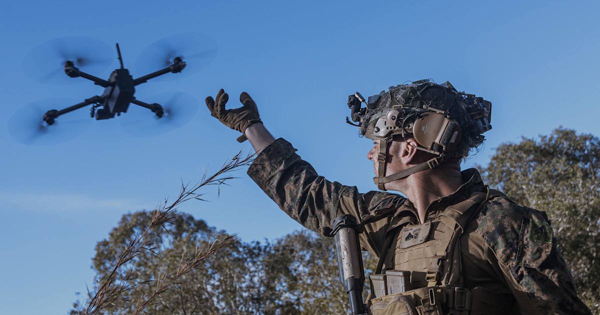
Custom Sensor Processing
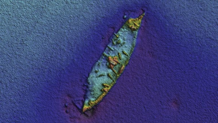
- • Side-scan sonar, LiDAR, multispectral cameras, SAR
- • Sensor fusion for enhanced situational awareness
- • Real-time processing on resource-constrained hardware
Scale
Large-Scale GeoAI Pipelines
- • End-to-end pipeline engineering for complex, large-project deployments
- • Multi-modal data fusion: LiDAR, satellite, SAR, infrared, and external sources
- • Scalable, production-grade systems built for real-world conditions
Detect
Detection & Identification
- • Computer vision and ML for real-time object detection across modalities
- • Few-shot learning for rapid deployment with limited training data
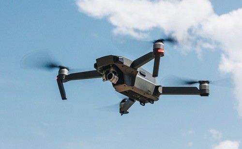
- • Edge deployment for autonomous vehicles, drones, and underwater systems
Extract
Domain-Specific Intelligence
- • Custom classification for niche industries and applications
- • Automated change detection and structured reporting
- • Few-shot learning for rapid identification of novel objects or threats
Streamline
Data & Workflow Automation
- • Automated data labeling and annotation pipelines
- • QA automation to accelerate validation at scale
- • Synthetic data generation for rare classes and edge cases
Ship
Develop & Deploy
- • Custom ML pipelines for your specific needs
- • On-premises, cloud, or edge deployment
- • Integration with your existing workflows and systems
How We Can Work With You
Custom AI Development
End-to-end design, training, and productionization for your specific problem
Model Fine-Tuning
Adapt our foundational GeoAI engines to your specific geographic regions or sensor modalities.
On-site Deployment & Integration
Securely operationalize models within your private cloud, on-premise servers, or resource-constrained edge hardware.
Embedded Team Partnerships
Accelerate your R&D cycle by integrating our ML, CV, and robotics experts directly into your teams and workflows.
Technical Advisory & Strategy
Architecture reviews and AI roadmapping from practitioners who've shipped it
Proof-of-Concept (PoC)
From research question to working demo in 8 weeks, validating performance prior to full-scale rollout.
Industries We Serve
Defense & National Security

Geospatial Intelligence
Autonomous Systems
Maritime Operations
Infrastructure & Utilities
Ready to tackle your geospatial AI challenge?
We'll respond within 24 hours to discuss how we can help.
Discuss your project