Lumen: From images to intelligence in minutes
Automated feature extraction from satellite, aerial, and drone imagery with sub-meter accuracy.
Currently deployed for defense applications. Contact us to discuss commercial partnerships.

Manual labeling stalls data ops
1.5 hours per km² is still the baseline for human mappers. Legacy tools require slow, opaque retraining and rarely scale. That's why millions of square kilometers of captured data sit idle, waiting to be processed.
Before Lumen
- • 1.5+ hours per km² manual labeling
- • 10-30 operators per project
- • Slow retraining cycles
- • Edge artifacts across tiles
- • Data backlogs in the millions of km²
After Lumen
- • <5 minutes per km²
- • 1 reviewer instead of 30 operators
- • No retraining needed
- • Consistent output across tiles
- • Process backlogs at scale
Built for Scale
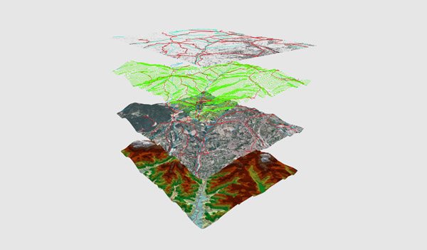
Extracts roads, buildings, linear features, and more
>95% accuracy with sub-meter precision
Exports directly to GIS tools (Shapefile, GeoJSON, KML)
Generalizes across geographies and resolutions
No retraining needed for new areas or sensors
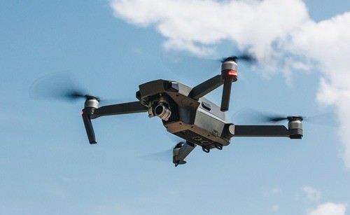
Works with satellite, aerial, and drone imagery
Scales to thousands of km²
Consistent output across tiles—no edge artifacts
Under 5 minutes per km² with no human input
Applications

Defense & Intelligence
Change detection, threat identification, infrastructure analysis
National Mapping Agencies
Base map updates, feature extraction at enterprise scale
Autonomous Systems
GPS-denied localization, scene understanding, real-time processing
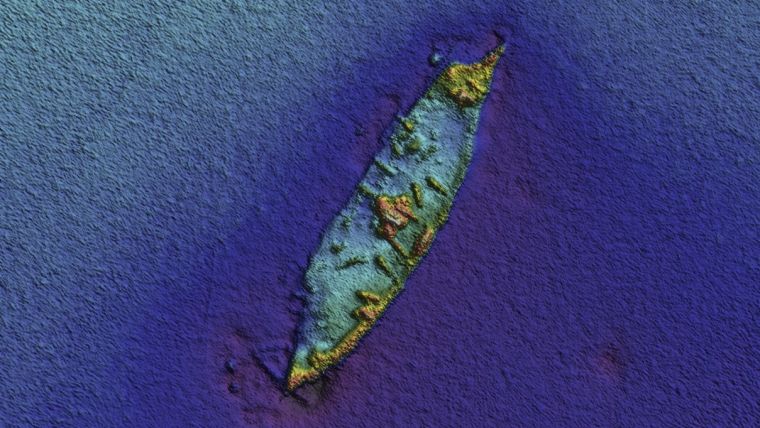
Maritime Operations
Shipwreck detection, coastal monitoring, change analysis
Technical Capabilities
Imagery Support
- • Multispectral and RGB imagery
- • Satellite, aerial, and drone platforms
- • Various resolutions and sensors
Deployment
- • Edge deployment ready
- • Drones, submarines, autonomous vehicles
- • Real-time processing capabilities
Features
- • Roads and transportation networks
- • Buildings and structures
- • Custom feature extraction
Output Formats
- • Shapefile
- • GeoJSON
- • KML
Real-World Results
Processing Time per km²
From >1.5 hours
Accuracy
Sub-meter precision
Team Reduction
From 30 operators to 1 reviewer
Ready to accelerate your image intelligence?
Lumen powers our defense work—let's discuss how we can apply this technology to your challenges.
Partner on image intelligence